by Neil.
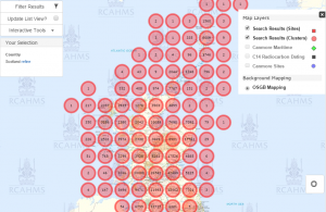
18th March, 2014 : The Royal Commission on the Ancient and Historical Monuments of Scotland (RCAHMS) have published a new wreck map showing the density of 1,200 years of shipwrecks in Scottish waters as part of a drive to enhance the maritime record for Scotland.
This provides a fourfold increase in shipwreck records and a 40 per cent increase in maritime records overall. Freely available to the public, the records, photographs and data can be accessed via Canmore and include:
You can view the database as
Entries are supported with thousands of digital images including many of shipwreck dives off the coast.
Here’s hoping for one for England & Wales soon !


